Survey team documenting a land parcel in Hyderabad
    Accurate Land Surveying & Mapping Solutions

    Land Surveyors in Hyderabad You Can Trust

    Accurate land measurement, mapping, and boundary survey support for developers, contractors, and landowners across Hyderabad and Telangana.

    What We Do

    Our Surveying Services

    Boundary Survey

    Define and mark property boundaries with precision and legal accuracy.

    Topographic Survey

    Detailed contour maps showing elevation, terrain features, and natural landmarks.

    Construction Layout

    Accurate staking and layout for building foundations and infrastructure.

    Drone Survey Mapping

    Aerial photogrammetry and 3D mapping using advanced drone technology.

    Land Subdivision

    Divide parcels according to zoning regulations and development plans.

    Why Lakshmi Digital Surveyors

    Why Choose Us

    Certified Surveyors

    Licensed professionals with years of experience

    Advanced Equipment

    GPS, drones, and total stations for maximum accuracy

    Fast Turnaround

    Quick delivery without compromising precision

    High Accuracy

    Sub-centimeter precision on every measurement

    How We Work

    Our Process

    01

    Site Visit

    Initial inspection and assessment of your property

    02

    Data Collection

    Precise measurements using advanced surveying technology

    03

    Analysis & Mapping

    Processing data into accurate maps and reports

    04

    Final Report

    Comprehensive survey report delivered to you

    Our Work

    Recent Projects

    Villa Plot Boundary Demarcation survey project in Shankarpally, Telangana

    Villa Plot Boundary Demarcation

    Shankarpally, Telangana

    Drone Mapping for Industrial Parcel survey project in Patancheru, Telangana

    Drone Mapping for Industrial Parcel

    Patancheru, Telangana

    Topographic Survey for Site Planning survey project in Kokapet, Hyderabad

    Topographic Survey for Site Planning

    Kokapet, Hyderabad

    Layout Demarcation for Residential Plots survey project in Adibatla, Telangana

    Layout Demarcation for Residential Plots

    Adibatla, Telangana

    Construction Staking for Commercial Footings survey project in Kompally, Hyderabad

    Construction Staking for Commercial Footings

    Kompally, Hyderabad

    Agricultural Parcel Mapping survey project in Maheshwaram, Telangana

    Agricultural Parcel Mapping

    Maheshwaram, Telangana

    What Clients Need

    What Good Survey Support Looks Like

    Clients usually need boundary lines they can explain on site, measure against documents, and use before fencing, registration, or site preparation.

    Clear boundary marking

    For landowners and buyers

    Construction teams depend on layout points, levels, and reference marks that can move directly from survey data into execution without rework.

    Field-ready layout data

    For contractors and engineers

    Drone mapping and topographic capture help teams review access, contours, and parcel extents early so approvals and planning discussions move faster.

    Faster planning visibility

    For developers and consultants

    FAQs

    Common Questions About Our Surveying Services

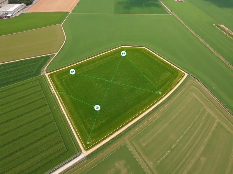
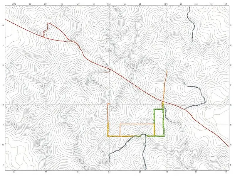
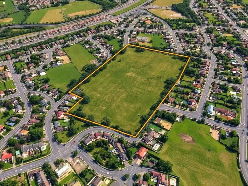
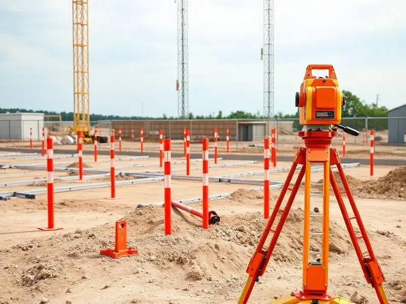
    What land surveying services do you offer in Hyderabad?

    We provide boundary surveys, topographic surveys, construction layout, drone survey mapping, and land subdivision support for residential, commercial, and infrastructure projects across Hyderabad and Telangana.

    How quickly can you complete a property survey?

    Turnaround depends on the site size, terrain, and deliverables, but most standard property surveys begin with a site visit and then move to data collection, processing, and reporting on a defined schedule.

    Do you handle drone mapping and contour surveys?

    Yes. Our team uses drone-based aerial mapping and ground survey equipment to generate orthomosaic maps, terrain models, and contour information for planning and construction.

    Can you help with boundary disputes and subdivision planning?

    Yes. We support legal boundary verification, parcel demarcation, and subdivision planning with precise measurements and survey documentation.

    Need Accurate Land Measurement?

    Get in touch today for a free consultation and quote. Our expert team is ready to help with your surveying needs.