Our Services

    Surveying Solutions

    Comprehensive land surveying services tailored to your project needs
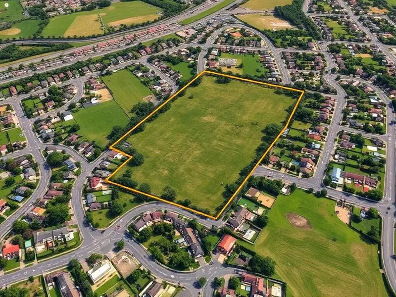
    Boundary Survey

    Accurately determine property lines and corners to resolve disputes, support transactions, and establish legal boundaries.

    • Property line identification
    • Corner monumentation
    • Legal descriptions
    • Encroachment analysis
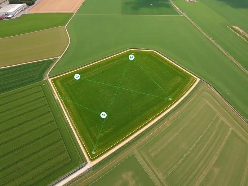
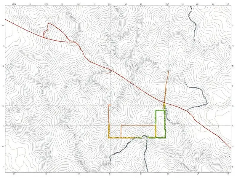
    Boundary Survey field work by Lakshmi Digital Surveyors

    Topographic Survey

    Detailed mapping of terrain features, elevations, and contour lines for engineering design and site planning.

    • Contour mapping
    • Elevation data
    • Natural feature location
    • Utility mapping
    Topographic Survey field work by Lakshmi Digital Surveyors

    Construction Layout

    Precise staking and layout services for building foundations, roads, utilities, and infrastructure projects.

    • Building staking
    • Grade verification
    • As-built surveys
    • Progress monitoring
    Construction Layout field work by Lakshmi Digital Surveyors

    Drone Survey Mapping

    Advanced aerial photogrammetry and LiDAR surveys using state-of-the-art UAV technology for large-area mapping.

    • Orthomosaic maps
    • 3D point clouds
    • Volumetric analysis
    • Thermal imaging
    Drone Survey Mapping field work by Lakshmi Digital Surveyors

    Land Subdivision

    Professional subdivision surveys that divide land parcels according to zoning laws and development regulations.

    • Plat preparation
    • Lot layout design
    • Zoning compliance
    • Regulatory filing
    Land Subdivision field work by Lakshmi Digital Surveyors